
 |
| Photo- The flags flying high in Truth or Consequence, NM. |
I pulled in and parked.
I walked along a sidewalk where there are bricks with names of those who
have served and lost their lives. Some
had flowers or other items setting just off the side of the bricks. In the center before you get to the traveling
wall there’s a grouping of flag poles with flags. At the center of and the tallest is the US
Flag with a POW-MIA flag directly beneath it. Then I walked along the traveling
wall that now has a permanent home. The
names; and there are so many of them. It
left me speechless and a little bit emotional that so many have died for our
country.
 |
| Photo- Part of the Educational Walk at the Veterans Memorial Park. |
Next, I walked around that wall to an area that’s called the
Educational Walk. This walk is in the
shape of star of a Congressional Medal of Honor with a globe and eagle serving
as the guardian to this walk area. On
this walk there are pedestals with plaques for each of the wars that happened
to make our country what it is today. It
starts with a plaque about the Revolutionary war and goes to present day
wars. Quite a few of these wars have the
stats on how many died and how many were wounded. The last of which is blank except for the
name of the conflict which I saw as a very powerful statement that this is not
at an end.
 |
| Photo- Inside the Hamilton Military Museum. |
I then walked into the Hamilton Military Museum; where they
were two volunteers waiting to greet me and answer any questions that I may
have. This museum is a living memorial
to those that served in the armed forces.
There’s letters, uniforms, artifacts, and pieces of history that are
preserved for generations to come. I
guess that parts of it change from time to time too. It was all very interesting but I found
myself kind of reacting emotionally to all of these people having died for our
country and I made a quick donation in the jar and left.
 |
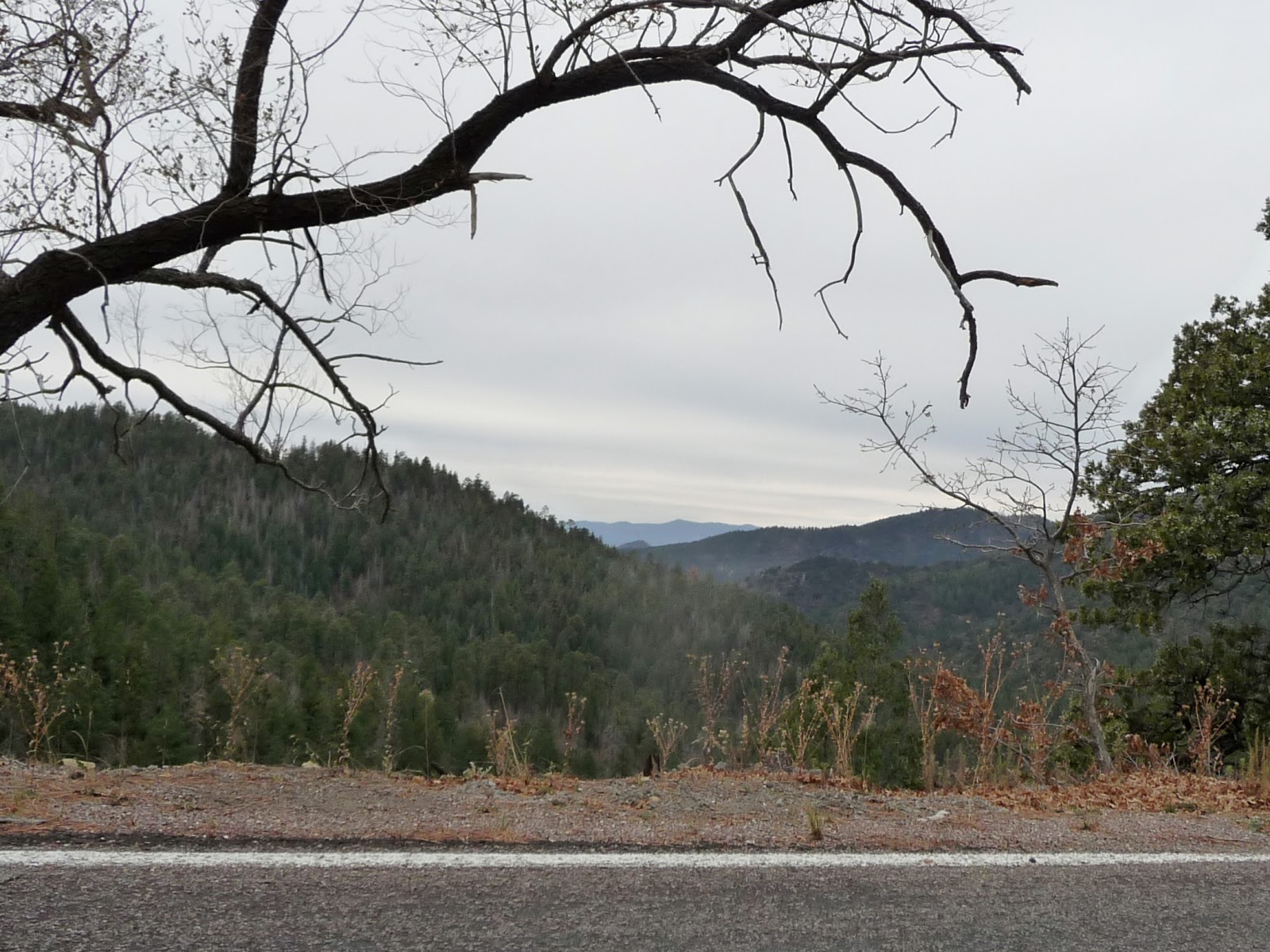
| Photo- Some of the scenery on the way to Hillsboro. |
Off down interstate I went.
I turned off on exit 63 and onto a back road Hwy 152. I was on my way to Silver City, NM which I
had been told was an artistic area. The
road went up and down. There were
several signs that said look out for running water; a new sign for me. The speed limit dropped and the road became
curvy and, of course, scenic. The speed
limit dropped down to 25 mph and I entered Hillsboro, a small hamlet amid a
mountainous rocky terrain. A cop car was
parked midway through the town with no cop in it. A few local people waved as I went through
the area. I waved back. I didn’t know these people from Adam but why
not wave back too?
 |
| Photo- The rocky landscape and curvy roads between Hillsboro and Sliver City. |
After Hillsboro, the road became even curvier and started to
climb and climb and climb. I was driving
through the Gila National Forest. The
terrain was rocky with a forest of juniper trees with prickly pear cactus scattered
among them here and there. I thought it
was gorgeous. The speed limit was
between 15mph to 25 mph because of the curves.
Every now and then a truck or car would come from the other
direction. Quite a few of them would be
waving as we drove past each other. It
was just the local people in the run down vehicles because the BMW’s and the
Mercedes just turned their nose at you. This
friendliness was rather nice, inviting, and refreshing.
 |
| Photo- The trees are getting taller as I move further up the mountainous terrain. |
I was driving in the nose bleed section of these mountains
and the view was gorgeous. The trees got
taller and changed into evergreen trees.
I did a bit more climbing in my car and then I was going over Emery
Pass. I could see for miles over my
right shoulder just before I went through the pass. Amazing!
Then, the road descended with curves and all. There was more waving from locals and a guy
on a motorcycle. The landscape changed
back to shorter juniper trees with cactus.
Then, I saw cyclists and slowed.
The road was very narrow and had no shoulder at all in quite a few
places. But with the views and the
challenge of climbing, I couldn’t blame the cyclists for being up here. It would be a great place to cycle.
 |
| Photo- Oh the amazing view between the trees as you get closer to the top! |
Soon, the road widened and I was at a junction with Hwy
180. I turned right towards Sliver
City. As I am traveling along on the
south side of the road are carved mountains with all kinds of copper and rust
colors. It looks like a mine. Off on the left I see a viewing area for the
mine and I pull into it. It’s the Santa
Rita Copper Mine which claims it is the oldest operating mine in the
country. It’s a pretty good sized hole
in the ground and I wonder how it compares with the Kennecott Copper Mine just
outside of Salt Lake City. I took a
couple of pictures while 4 older guys there standing looking and talking
together; the women are sitting in the cars.
 |
| Photo- The Santa Rosa Mine the oldest operating mine in the US. |
I jumped back in the car and continue on to Sliver
City. I follow the signs to the Main
Street Historic District. You know,
there seems to be a slight correlation between historic district areas and
artists. Why is that? Maybe us artists are drawn to them? I park the car and started to walk along the
street. I get several “HI’s” from what I
gather are locals. Boy, they are a
friendly lot here. I walk down one side
to another. It’s about 4pm and some of
the shops are already closed even though by their hours they should be
opened. I went into a couple of
shops.
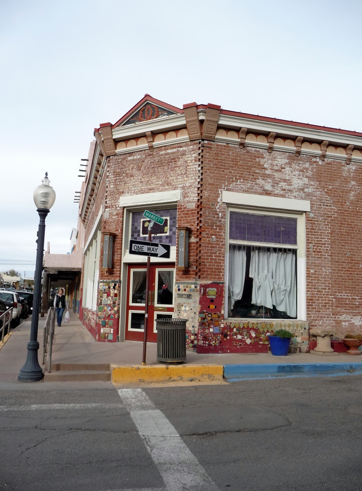 |
| Photos- Older colorful buildings in Sliver City, NM. |

One shop I went into, I overheard
the guy saying on the phone that he can’t close up just yet cuz he has
customers. I went into a jewelry shop
with very inexpensive prices. I couldn’t
pass up pairs of earrings for $3 to $5 per pair. I spent $15 and got 4 pairs of wonderful
earrings. I talked with the clerk and he
had moved from California. He’s
semi-retired and just does this to keep himself busy more than anything. The people are very nice here he said. I told him about the waving and he said yes
that’s the locals. They are courteous
drivers too he said. I continued on but
more and more of the shops were closed.
I went into a textile crafts and art shop. I talked with the clerk there too. It was about the same things. How friendly the people are and that’s why
her husband and she moved here. They
were in California.
 |
| Photo- Interesting artistic details that they do to the buildings in Sliver City, NM. |
I headed back to my car and drove towards Deming where my
hotel was for the night. I watched the
flat area between Sliver City and Deming change from dusk to pitch black
night. There wasn’t much out in this
area at all.
No comments:
Post a Comment